


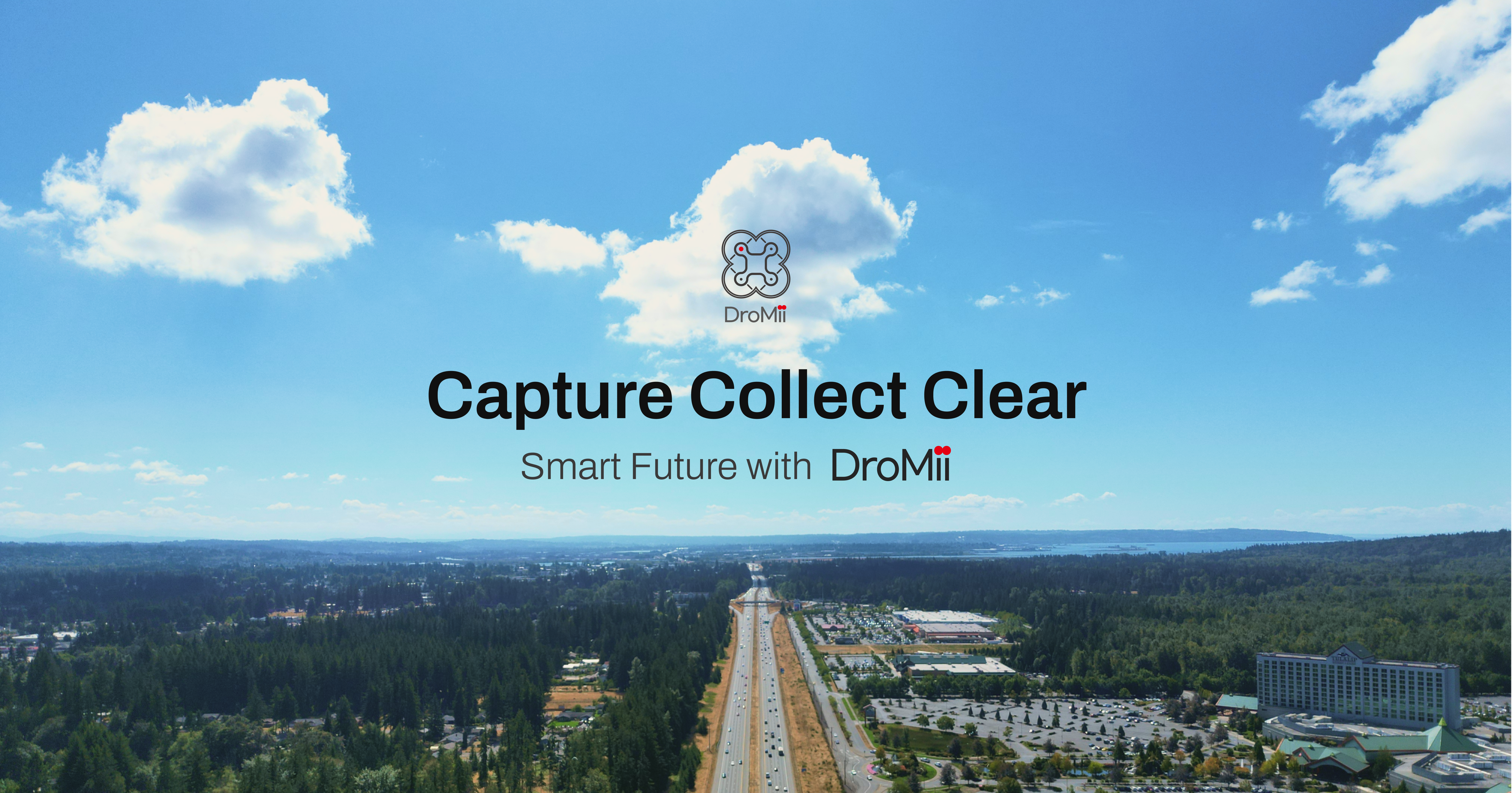
What is DroMii?
WE TAKE Geo-Spatial Data FROM ABOVE
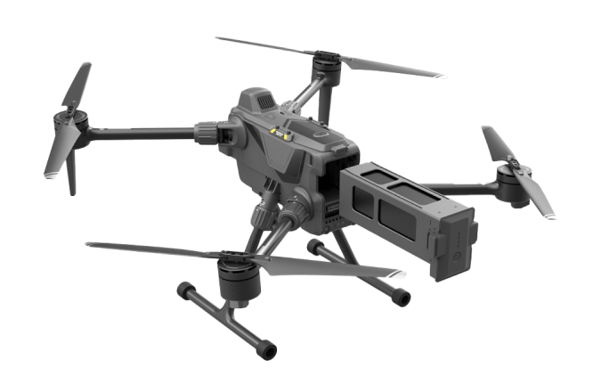
Effective and Efficient Method for collecting Data by using Drone
Drone surveying is way more productive than traditional types of surveying. It can be used in various fields, including road maintenance, environment, and future industries. Try DroMii's platform to get the information you want with URL, without software.
About
PLATFORM
Various spatial information and services are provided through video information captured by drones. You can easily use them anytime, anywhere.
DaaS
Provides 3D and Pano from drone images that are used for building spatial information. Provides an efficient way to get results through URL by producing a variety of analyses and reports.
DTM
Utilize machine learning on the basis of road information taken with road drones. Predicts and manages the status of various facilities and provides the connection with existing systems
CfSM
Creates car-free, high-precision maps based on DTM AI
AfGG
AfGG solution creates an HDS (High-Definition Safety) Map with road marking information. AfGG solution utilizes DTM ML to auto label the road markings (double yellow line, crosswalk, stop line, etc.) or detect risk factors (pothole, crack, etc.) to gather road information.


News


