
EN 

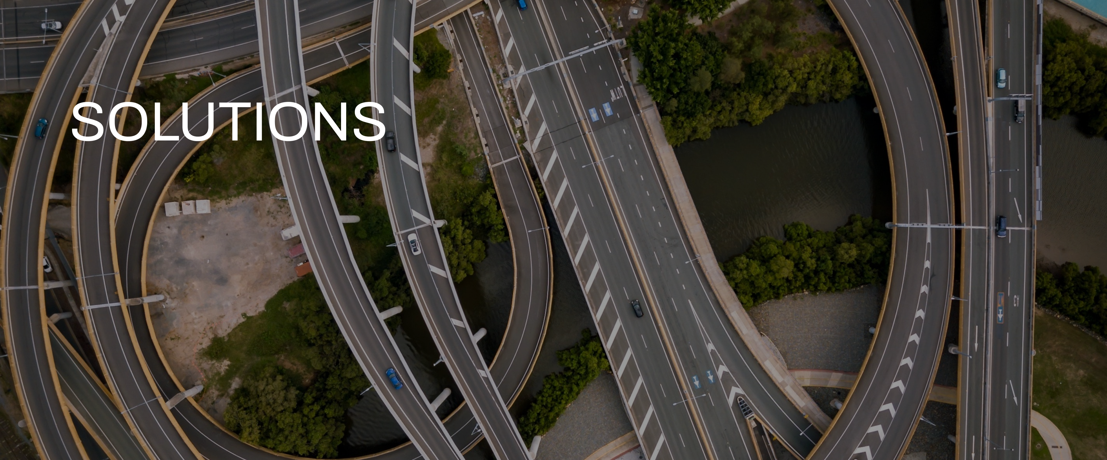
CAR-free STREET MAPPING
Removes car images on the road using the deep learning technique and drone-taken images.
More 〉3D MODELING
Creates 2.5D to 3D models from the drone-taken images using the multi-directional cameras.
More 〉HD SAFETY MAP
Creates simulation data for autonomous vehicles by gathering road information such as crosswalk, center line, and stop lines from real drone-taken images.
More 〉AUTOMATIC DATA PROCESSING
Distributes data processing step using the Node to automate the processing.
More 〉