

Automatically generate 3D models, panoramas, and spatial insights from drone imagery and share them instantly via URL.

DroMii captures and analyzes spatial data using drones, satellites, and AI.
A GeoAI platform that transforms aerial data into actionable insights.
Drone- and satellite-based data collection is faster and more efficient than traditional surveying. DroMii automatically analyzes captured data to deliver spatial insights for roads, environment, and infrastructure. Results can be accessed and shared instantly via URL without installing any software.
About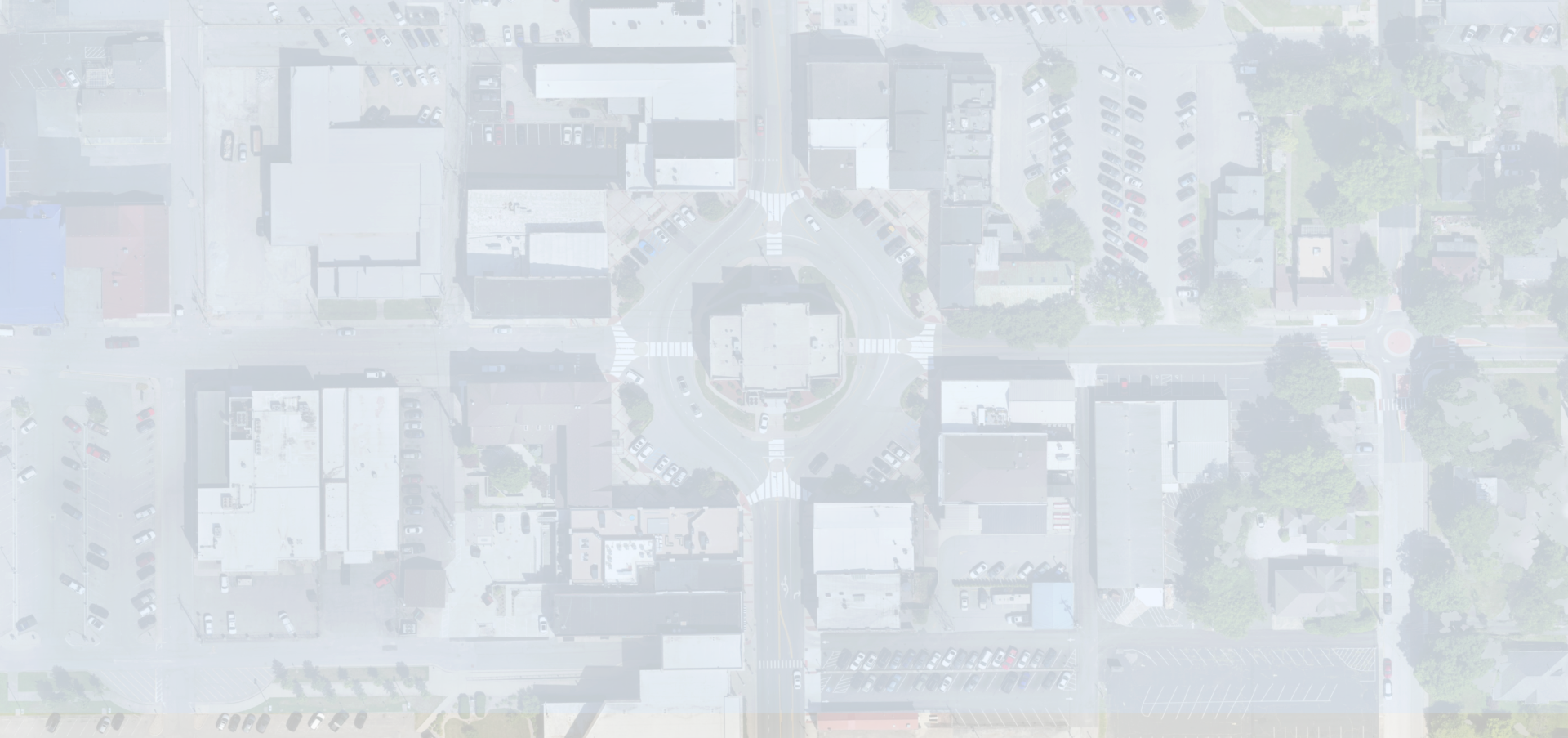
Platform
More 〉PLATFORM
The DroMii platform turns drone imagery into powerful spatial intelligence using AI. From data capture to analysis and sharing, everything happens in one platform.
AI-powered image analysis extracts road and infrastructure data automatically and supports condition monitoring and system integration.
Deep learning removes vehicles from road imagery to generate high-precision car-free road data.
AI detects and labels road markings and key objects to generate high-precision road safety maps.
Products and Updates
Explore DroMii software, hardware, and recent updates across field data capture, analysis, and sharing workflows.
Software
Core software for geospatial production, analysis, and delivery workflows.
Get3D software
AI-powered 3D software for large-scale model reconstruction and precise post-processing from aerial and spatial data.
Metashape
Photogrammetry processing and 3D spatial data generation from digital imagery.
Correlator3D
High-speed 3D mapping software for drone, aerial, and satellite imagery.
Global Mapper
Essential GIS software for spatial data analysis and geospatial processing.

Training & Education
Professional training programs for drone technology and spatial data applications.
Hardware
Select drones, sensors, and GNSS equipment for reliable field data capture.
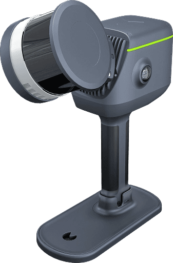
Get3D's handheld LiDAR scanner built for fast indoor and outdoor 3D capture.
Get3D R200

Drone-based TDLAS methane detection sensor for DJI Dock 3 and Matrice 4D/4TD inspections.
BL-CH4 MINI 3 Pro
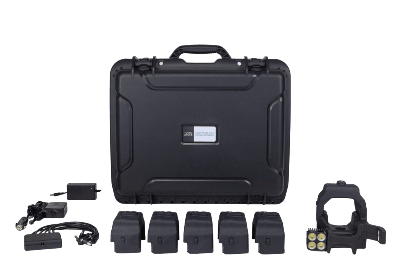
Compact moving light accessory for DJI Mavic 3 series night and low-light operations.
Auto Moving Light for DJI Mavic 3
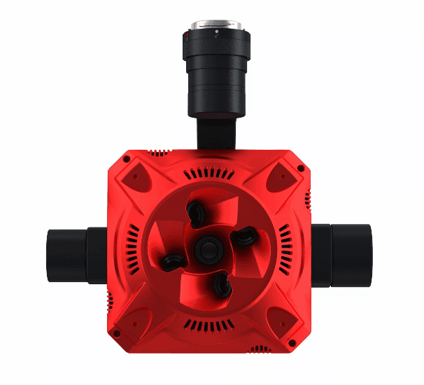
Triple-lens oblique camera designed for lightweight and efficient mapping missions.
SHARE T2
225 MP five-lens oblique camera for high-detail aerial surveying.
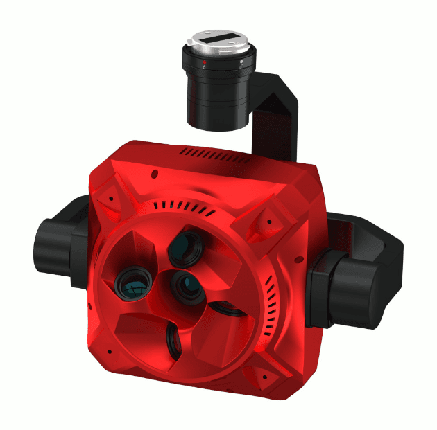
SHARE 203S PRO
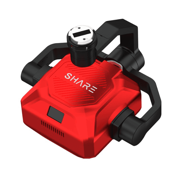
305 MP five-lens oblique camera built for large-scale aerial mapping.
SHARE 304S PRO
102 MP medium-format aerial camera for vivid, high-detail 3D modeling.
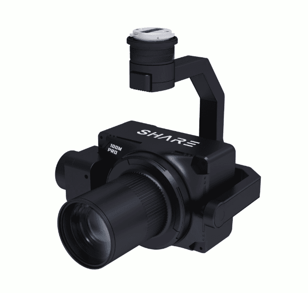
SHARE 100M PRO
61 MP full-frame single-lens aerial camera in a lightweight 280 g body.
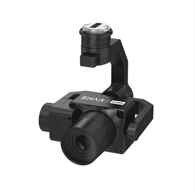
SHARE 6100X
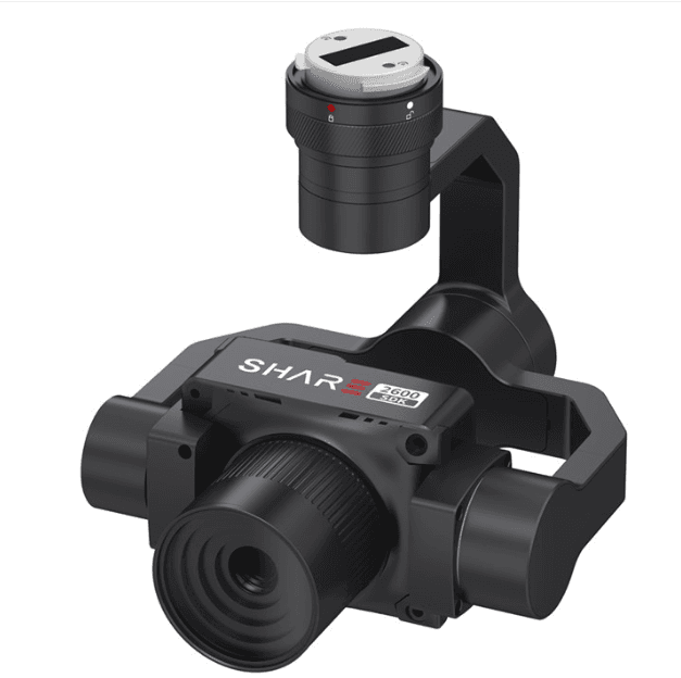
Three-axis gimbal aerial survey camera with a 23.1 x 15.4 mm sensor and IP53 protection.
SHARE 2600 SDK
News
Follow DroMii exhibitions, partnerships, presentations, and company updates.
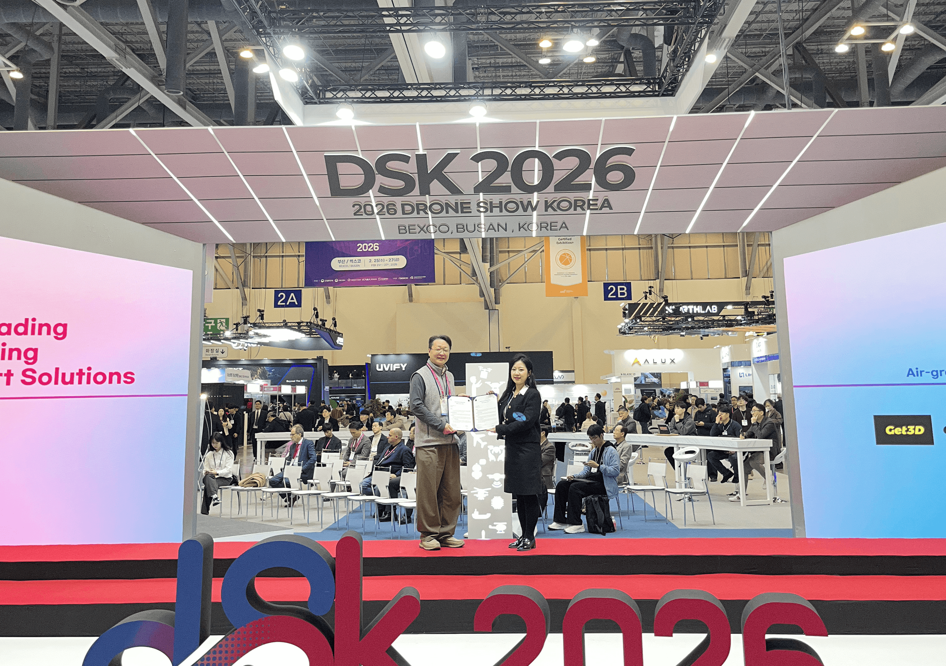
News[DSK 2026] Participation and MOU Signing2026-02-25
News[KGCCI Innovation Awards 2025] Selected as Top 5 - 3-Minute Pitch2025-11-20
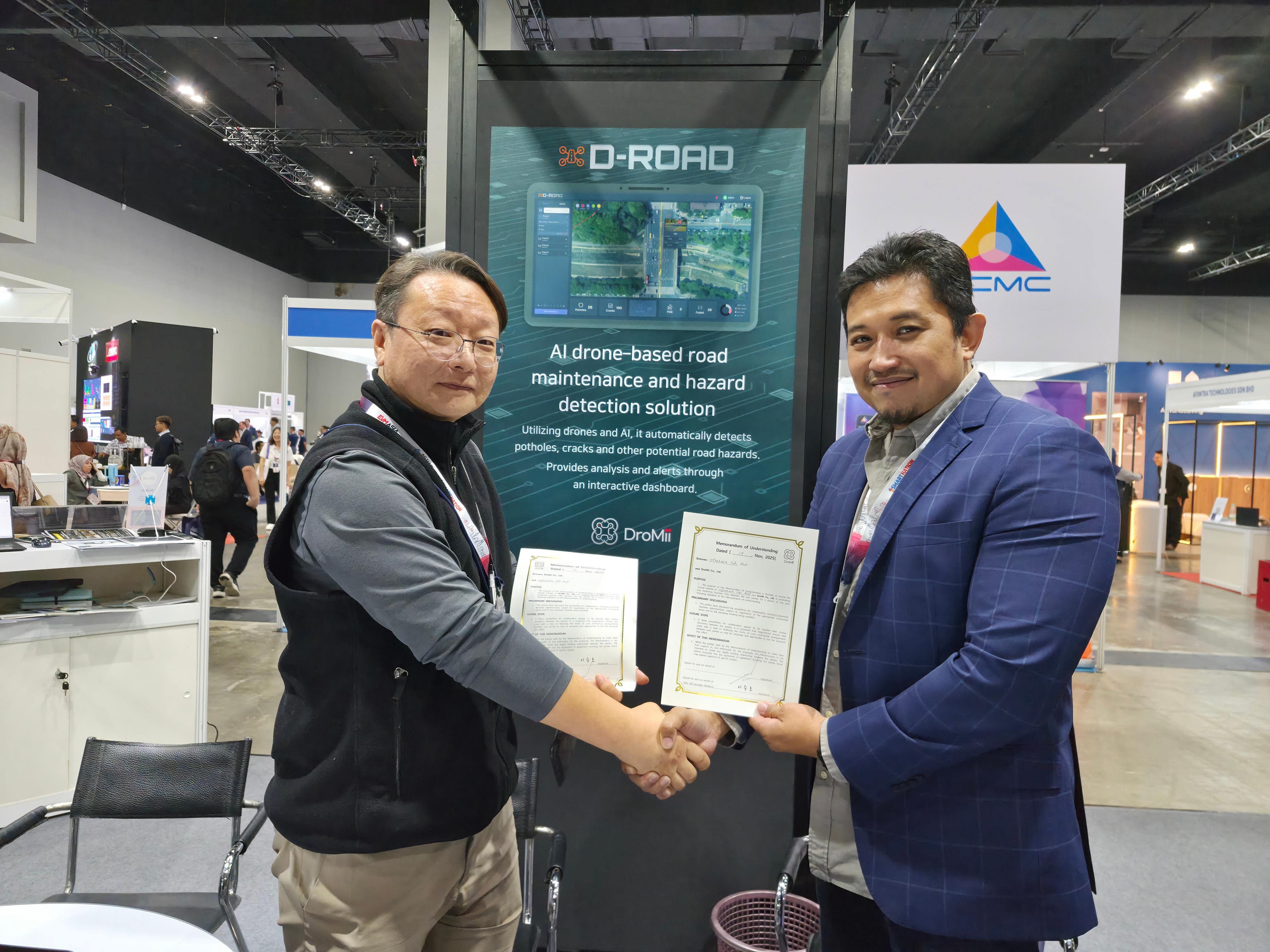
[Smart Nation] MOU Agreement with SmartSelDroMii expanded opportunities for smart city and spatial data collaboration through an MOU with SmartSel.
News[Smart Nation] MOU Agreement with SmartSel2025-11-19
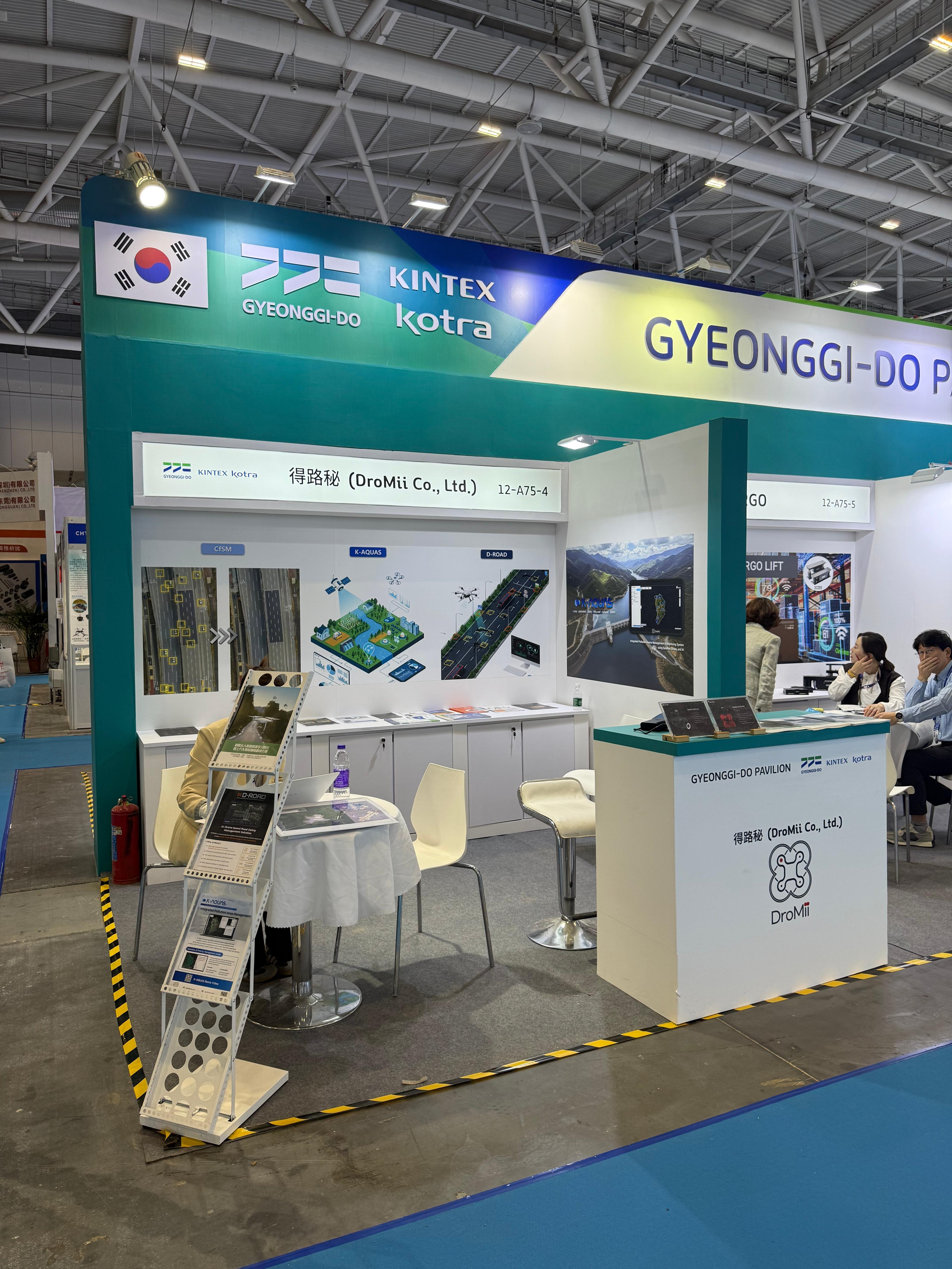
[KINTEX] DroMii Booth at Hi Tech FairDroMii showcased its GeoAI platform and core solutions to visitors at the KINTEX Hi Tech Fair booth.
News[KINTEX] DroMii Booth at Hi Tech Fair2025-11-15
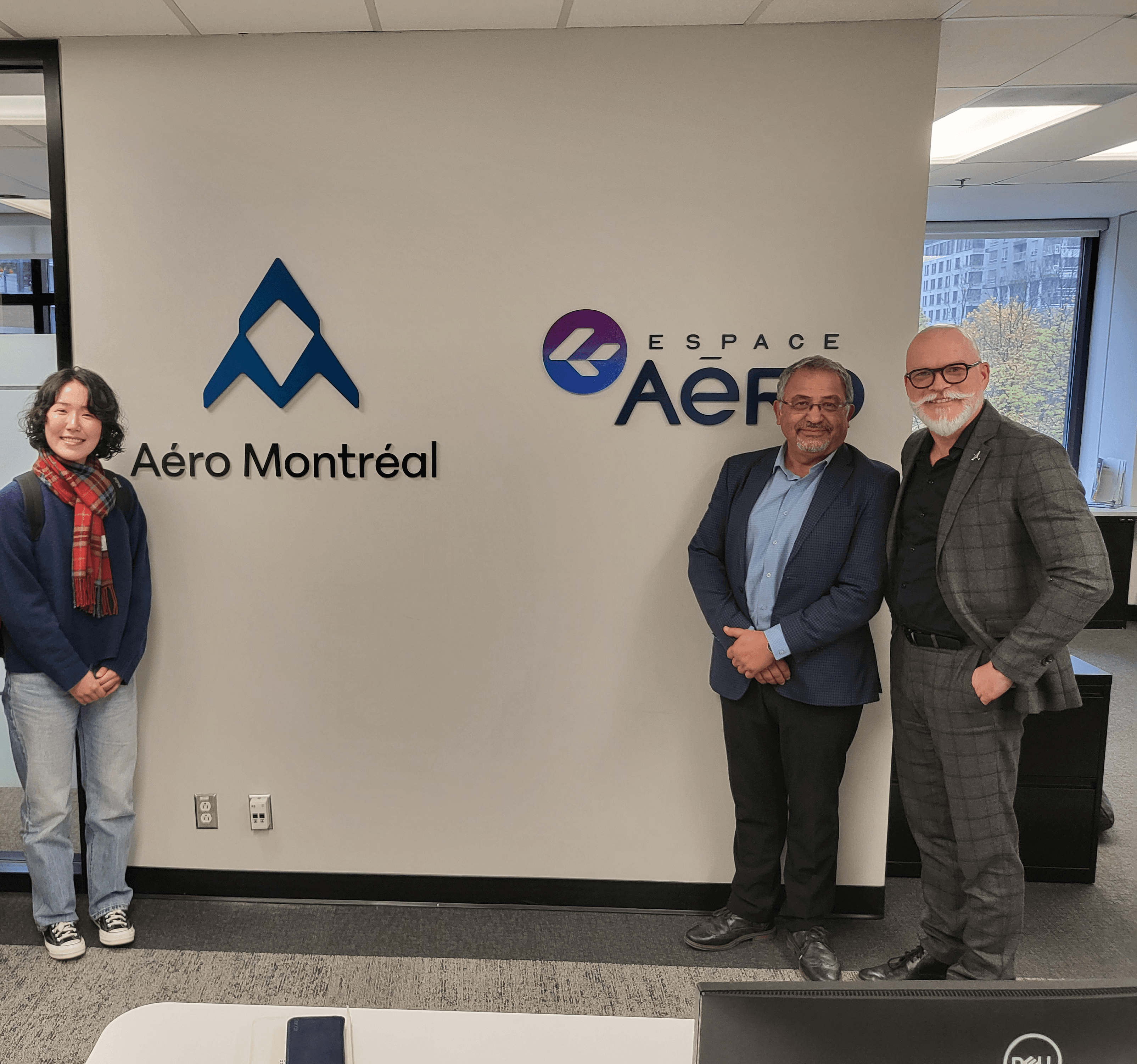
News[AICT X Centech in Montréal] Participation in International AI R&D Program2025-10-30
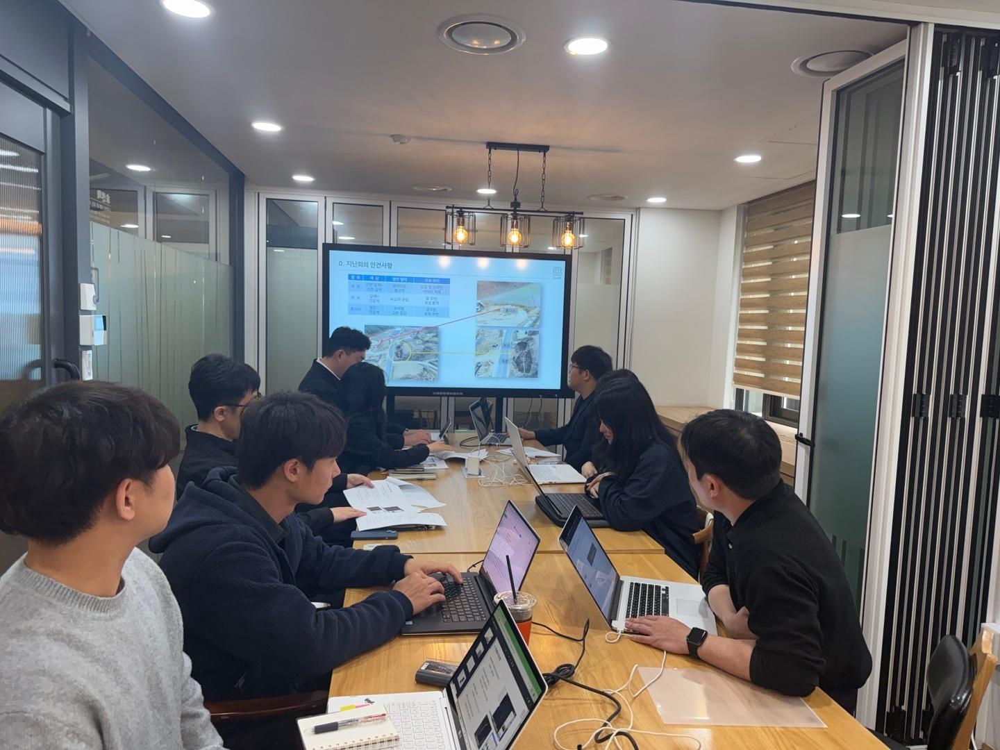
K-water Internal Meeting on Integrated Water Pollution Source ManagementDroMii discussed how K-AQUAS can support integrated water pollution source management and data-driven decision-making.
NewsK-water Internal Meeting on Integrated Water Pollution Source Management2025-04-23
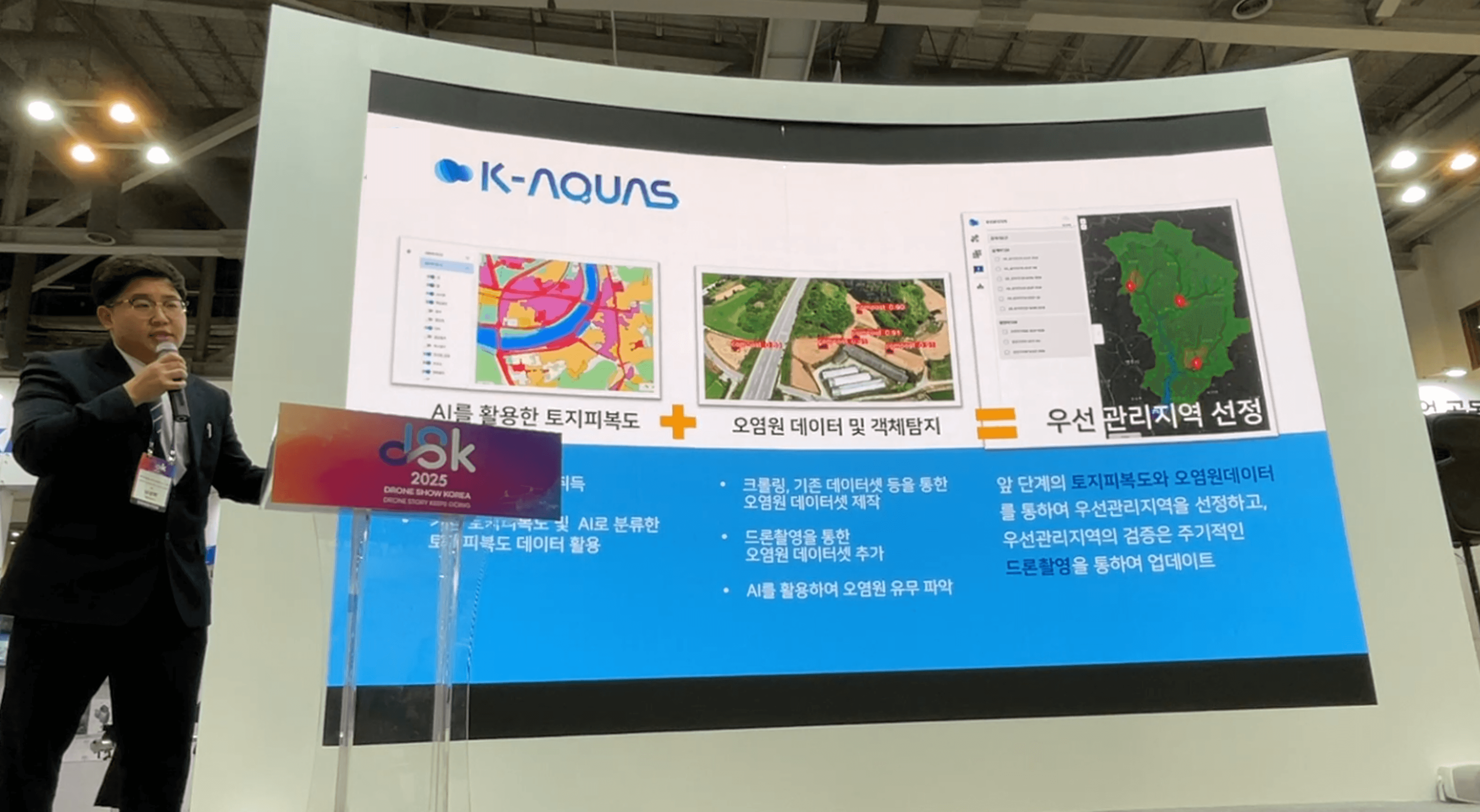
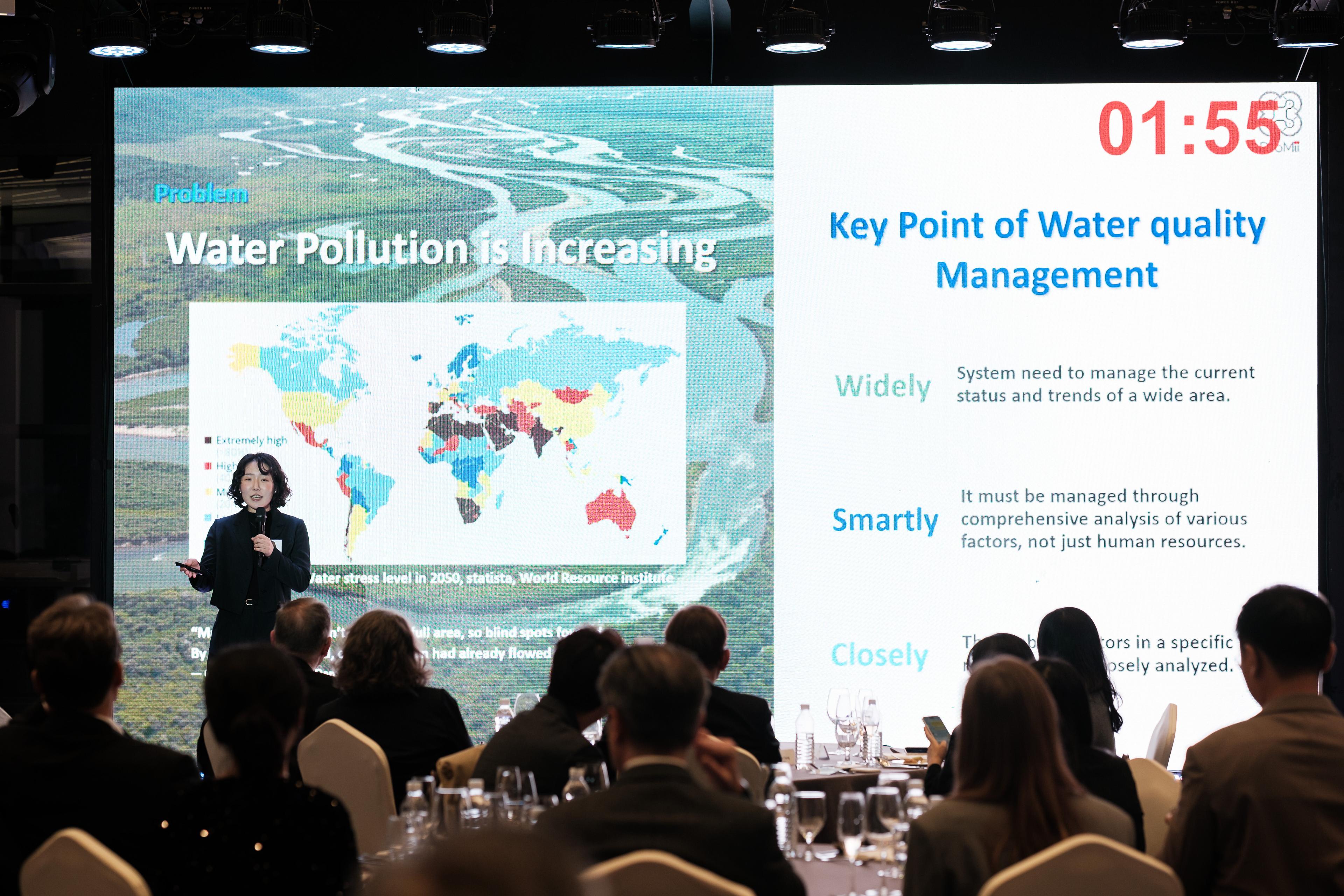
DSK Presentation: K-AQUAS Water Pollution Management and Decision Support SystemDroMii presented K-AQUAS, a water quality decision-support system combining drone, satellite, and AI analysis.
NewsDSK Presentation: K-AQUAS Water Pollution Management and Decision Support System2025-02-28
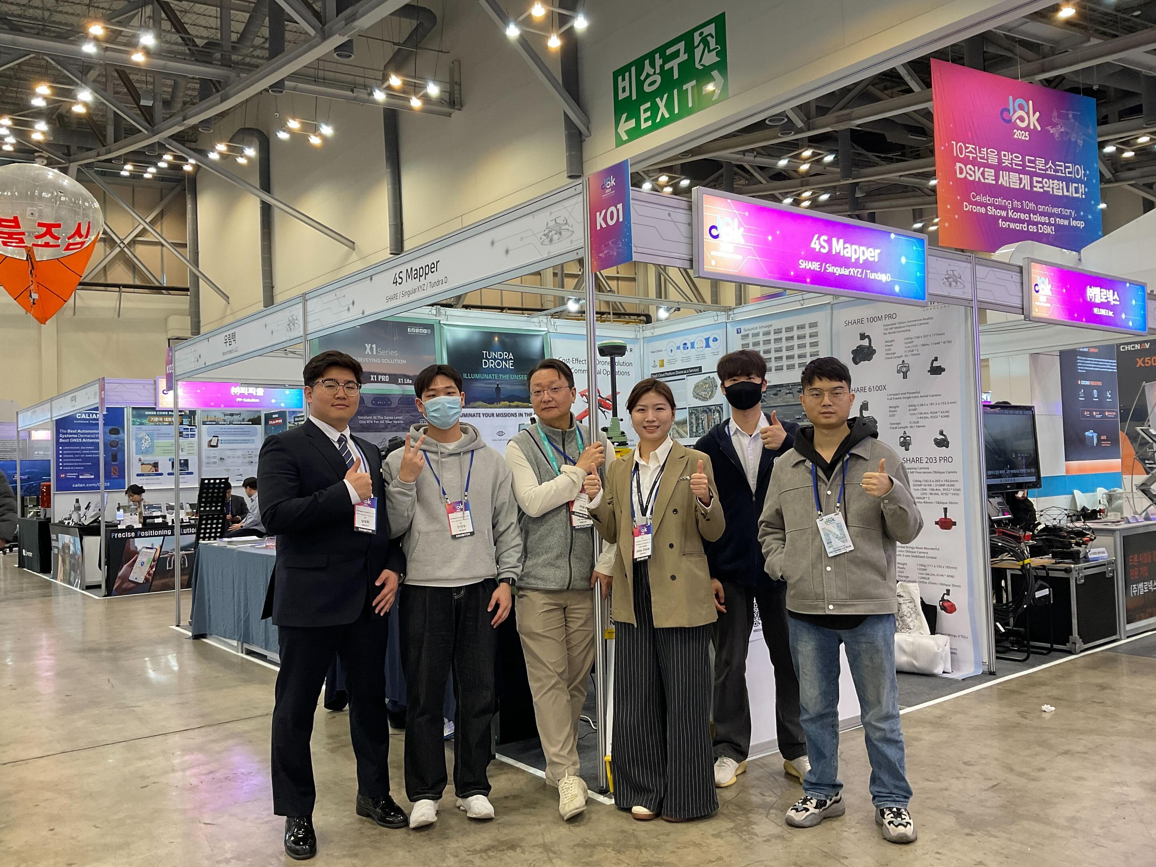
[Busan DSK] Exhibition Participation with SHAREDroMii presented its geospatial solutions together with SHARE equipment at the Busan DSK exhibition.
News[Busan DSK] Exhibition Participation with SHARE2025-02-28
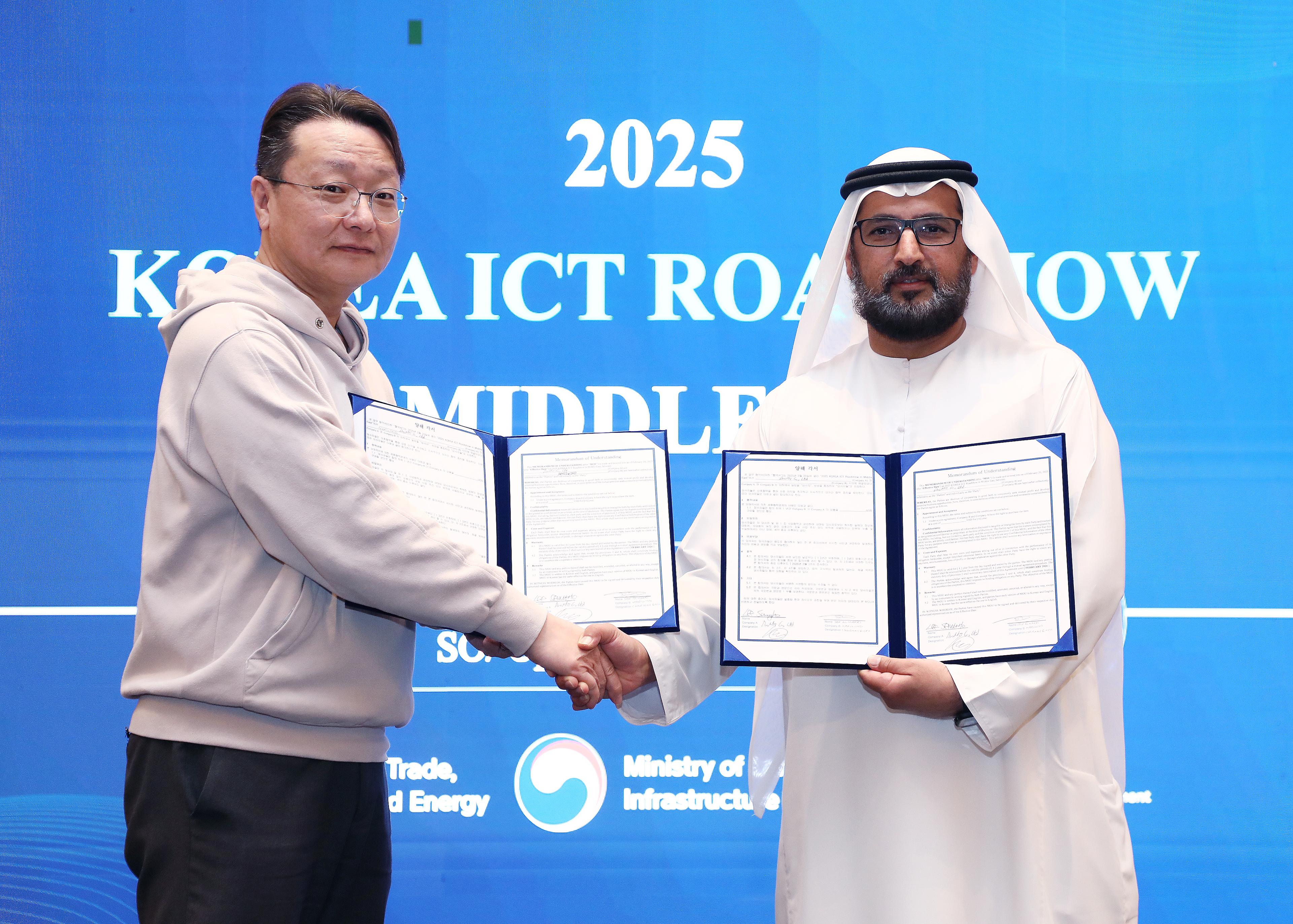
[2025 ICT Expo in Middle East] MOU SignedDroMii signed an MOU to expand collaboration for geospatial solutions and ICT market opportunities in the Middle East.
News[2025 ICT Expo in Middle East] MOU Signed2025-02-13
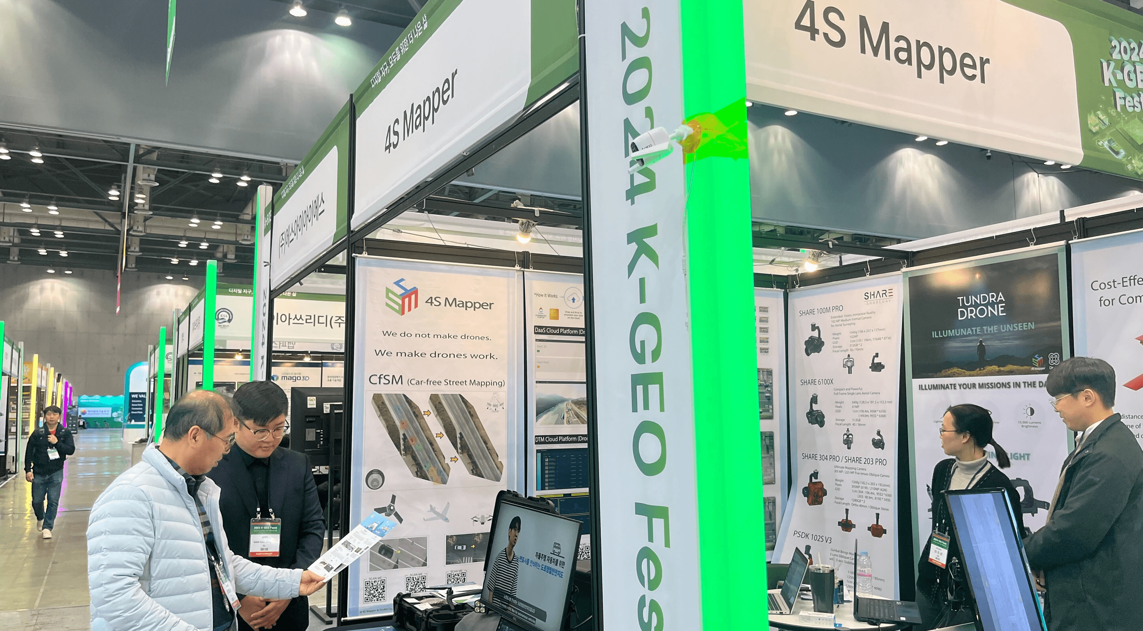
[K-GeoFesta] Exhibition ParticipationDroMii introduced drone and satellite-based geospatial technologies and AI analysis services at K-GeoFesta.
News[K-GeoFesta] Exhibition Participation2024-12-17

[DroMii] Middle East Overseas Market Development DelegationDroMii joined a Middle East market development delegation to explore local partnerships and commercialization opportunities for GeoAI solutions.
News[DroMii] Middle East Overseas Market Development Delegation2024-09-23
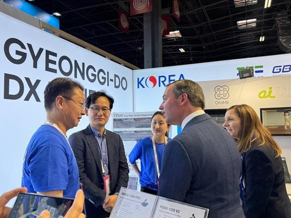
NewsGyeonggi DX Zone at Viva Technology 20242024-09-16

News[Seoul AI Hub 2025] DroMii Builds AI Spatial Solutions Based on Drones and Satellites2024-05-27