Capture
Collect wide-area field data efficiently with drones and satellite imagery.



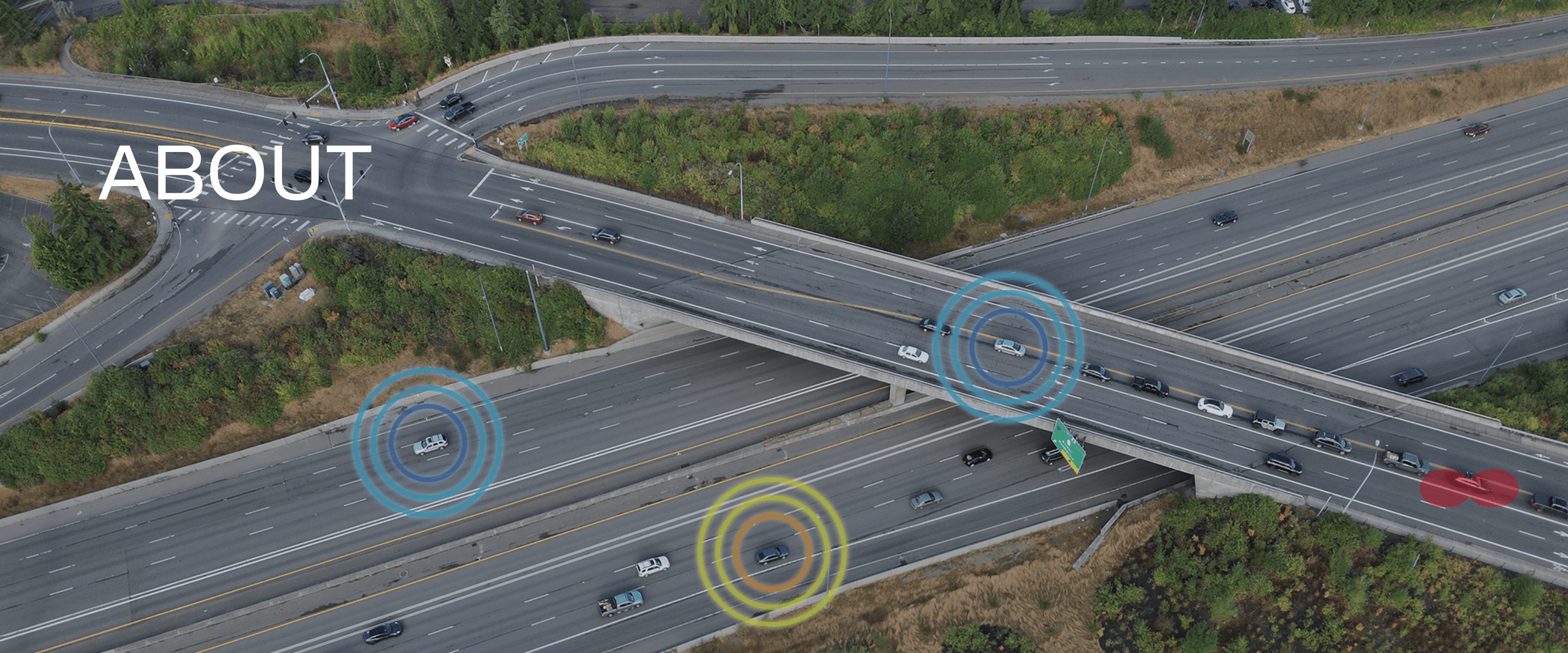
DroMii captures and analyzes road, environmental, and infrastructure data using drones, satellites, and AI-based geospatial technology. Our role is to turn complex field data into clear, shareable outcomes.
Download a PDF overview of our vision, core technologies, product lineup, and key application areas.
Collect wide-area field data efficiently with drones and satellite imagery.
Interpret roads, water quality, and infrastructure conditions with AI and geospatial analysis.
Share results through web-based platforms, maps, dashboards, and reports.
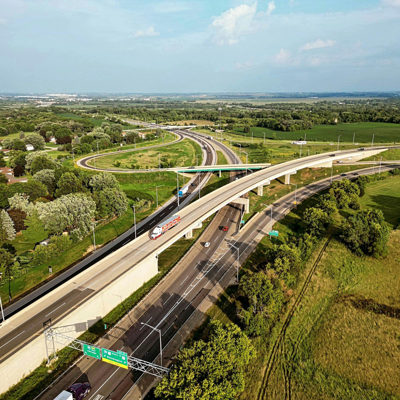
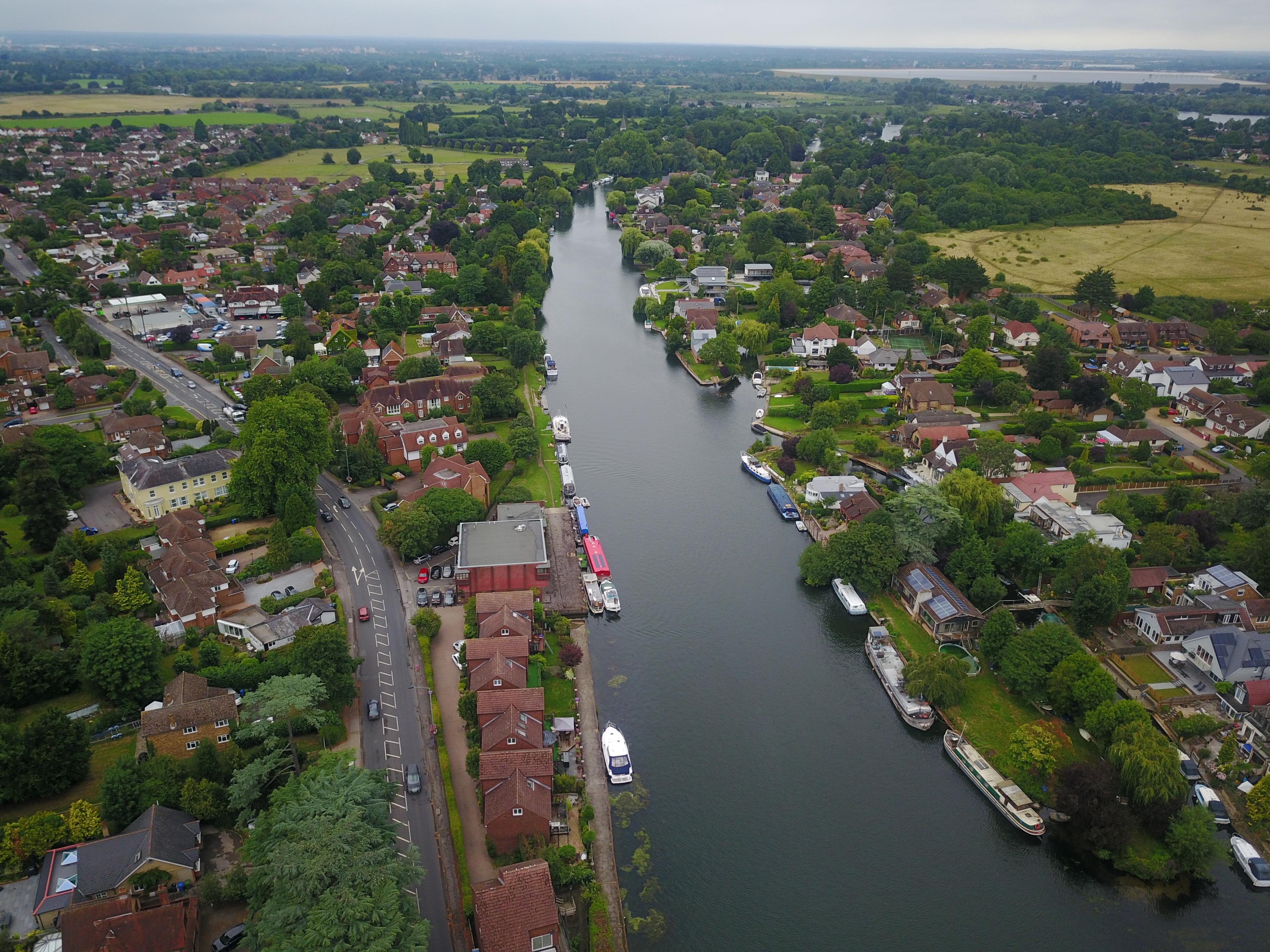
Captured data moves through AI and geospatial processing, then becomes maps, dashboards, and reports that teams can actually use.
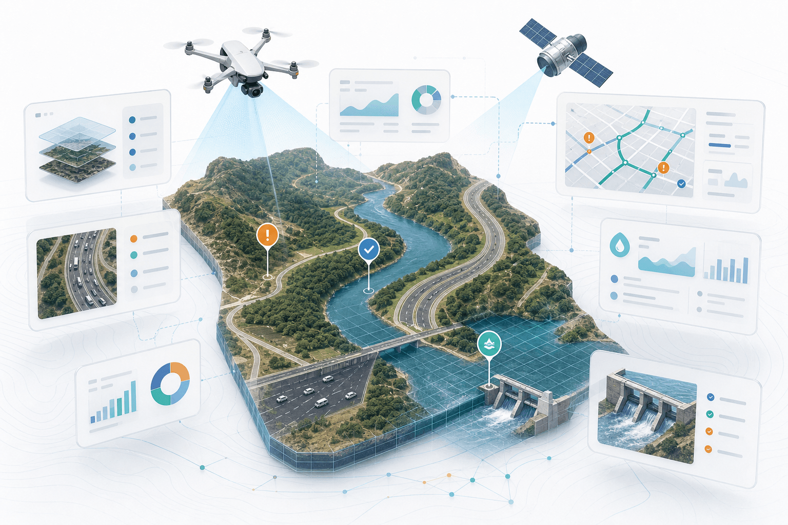
DroMii began with the connection between Drone and Information. We aim to turn aerial data into accurate, practical intelligence.
Let’s review which DroMii platform or solution best fits your workflow.